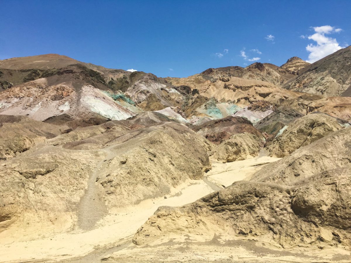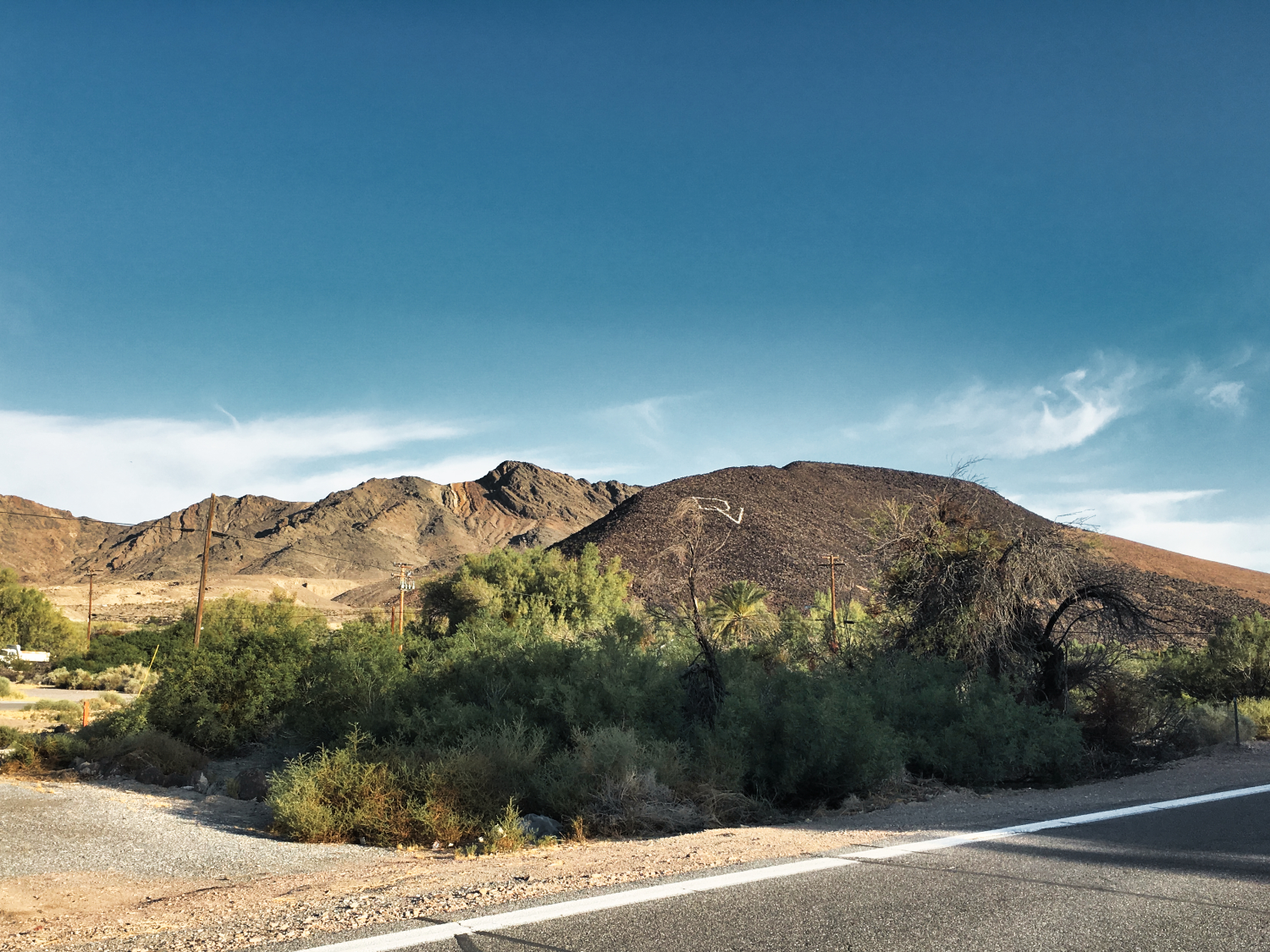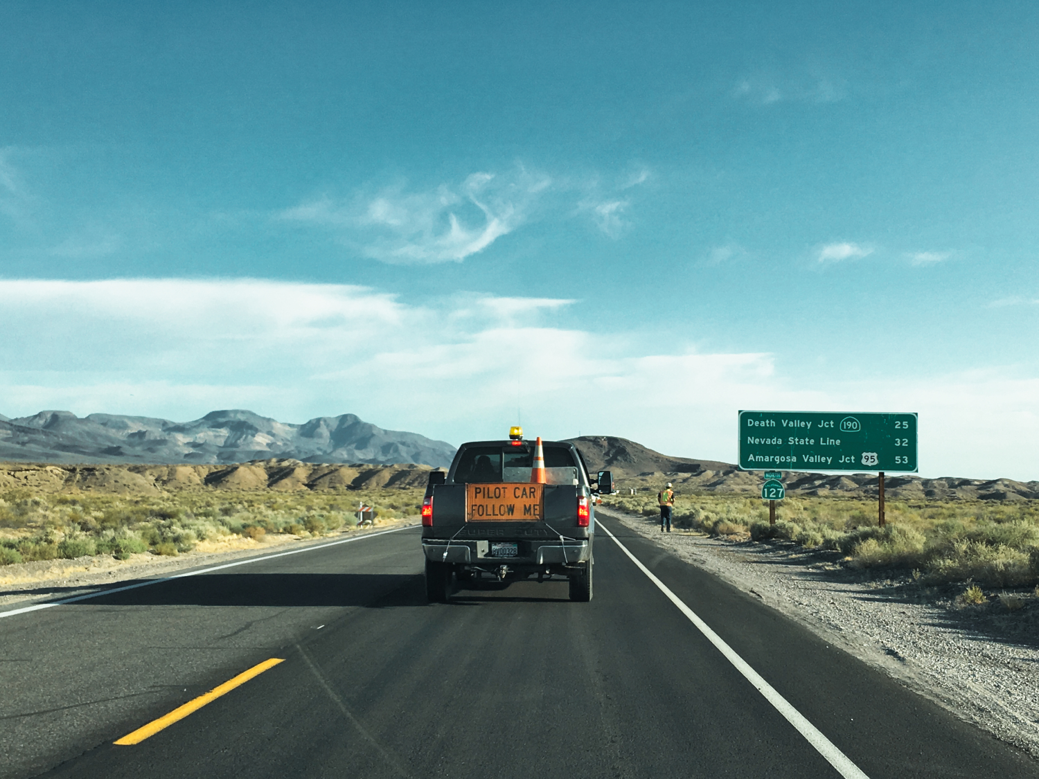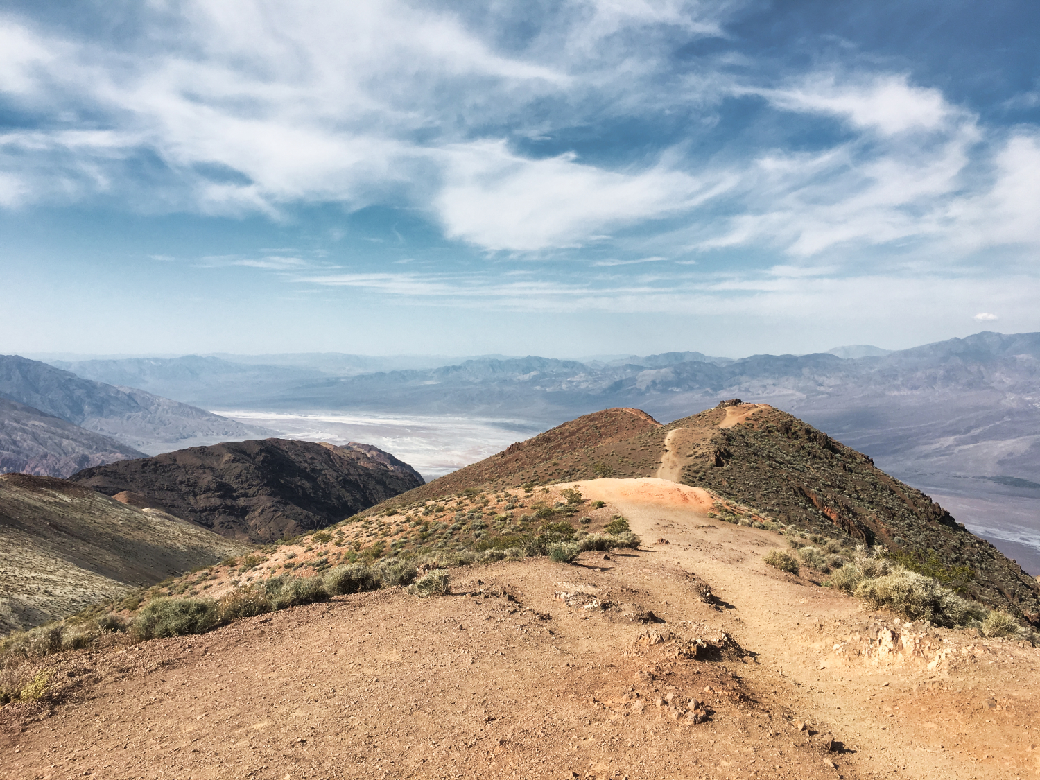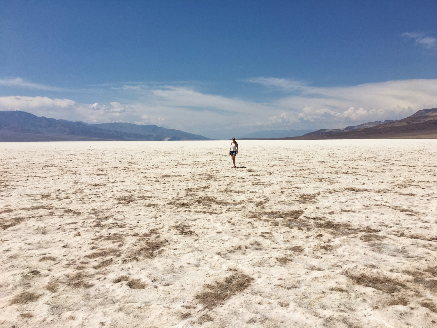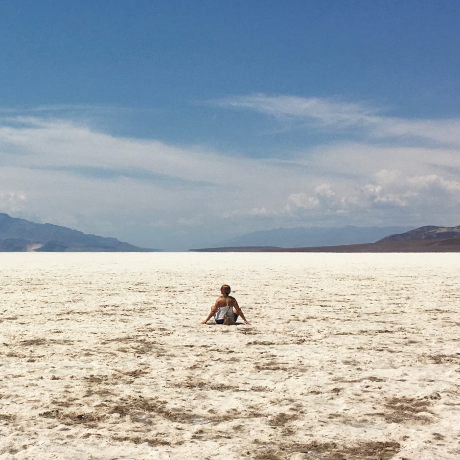


![]() When traveling, especially in places like Death Valley, it is crucial to be prepared. Ensure you have an ample supply of water and food, and remain vigilant of potential dangers or warning signs.
When traveling, especially in places like Death Valley, it is crucial to be prepared. Ensure you have an ample supply of water and food, and remain vigilant of potential dangers or warning signs.
We always take electrolyte blocks with us, like the Salted Watermelon Clif Bloks and snacks, like Trailmix Nuts.
COMING SOON
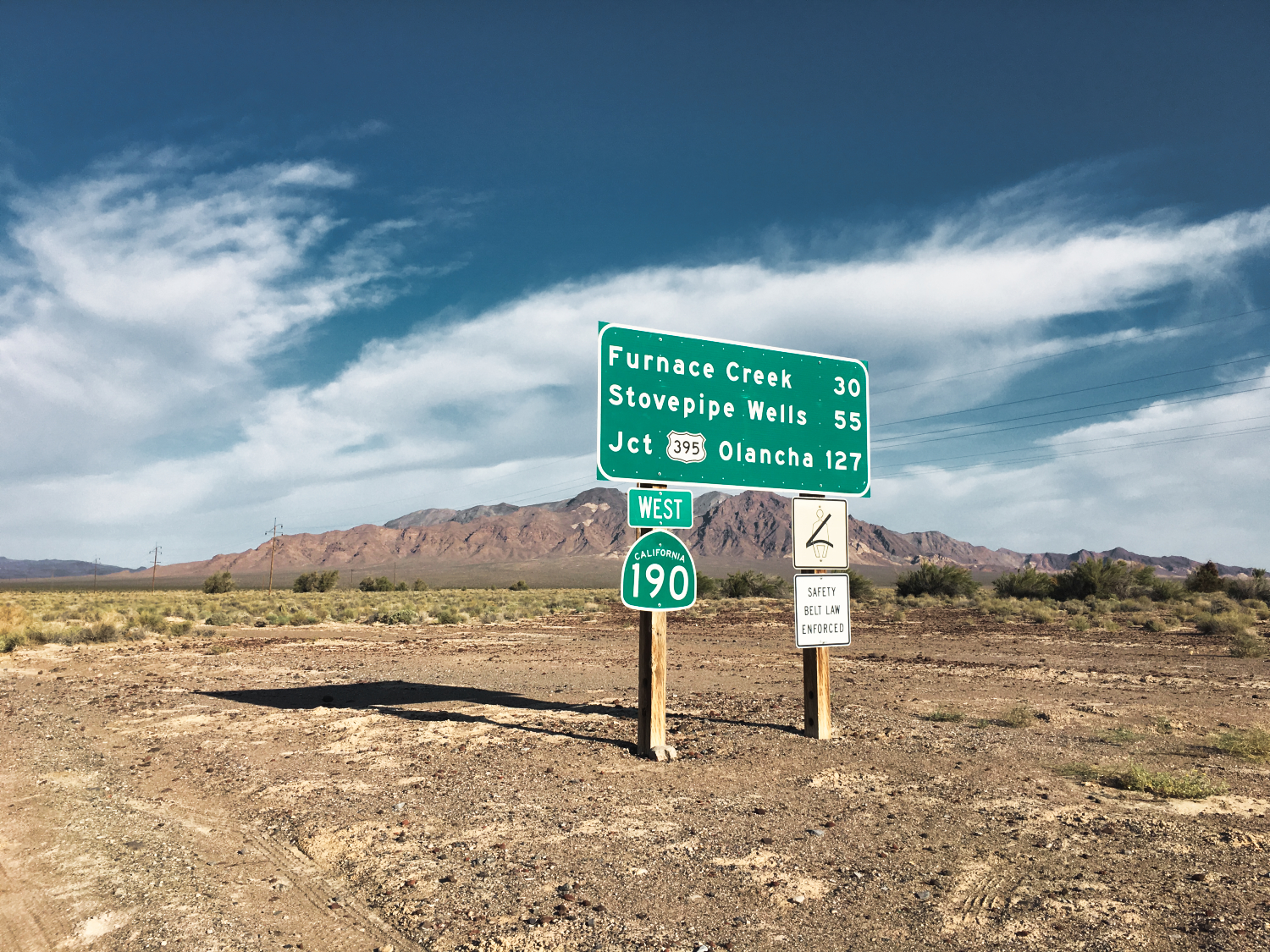
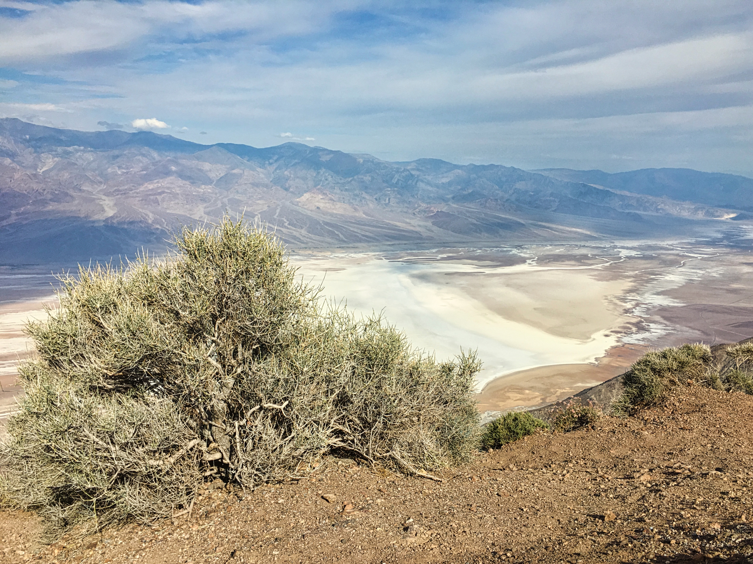
![]() Don’t forget to take a paper map with you!
Don’t forget to take a paper map with you!
We like this one a lot: Death Valley National Park Map. Cell Service might be scarce, so having a backup is smart. A good old-fashioned map ensures smooth navigation on your day trip from Las Vegas to Death Valley. It’s a simple solution for a worry-free adventure.

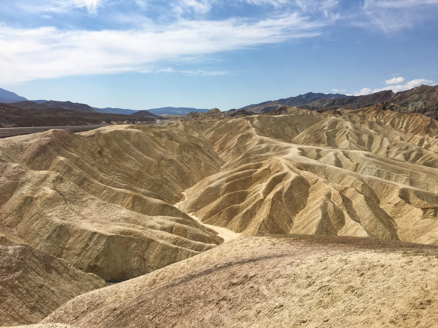
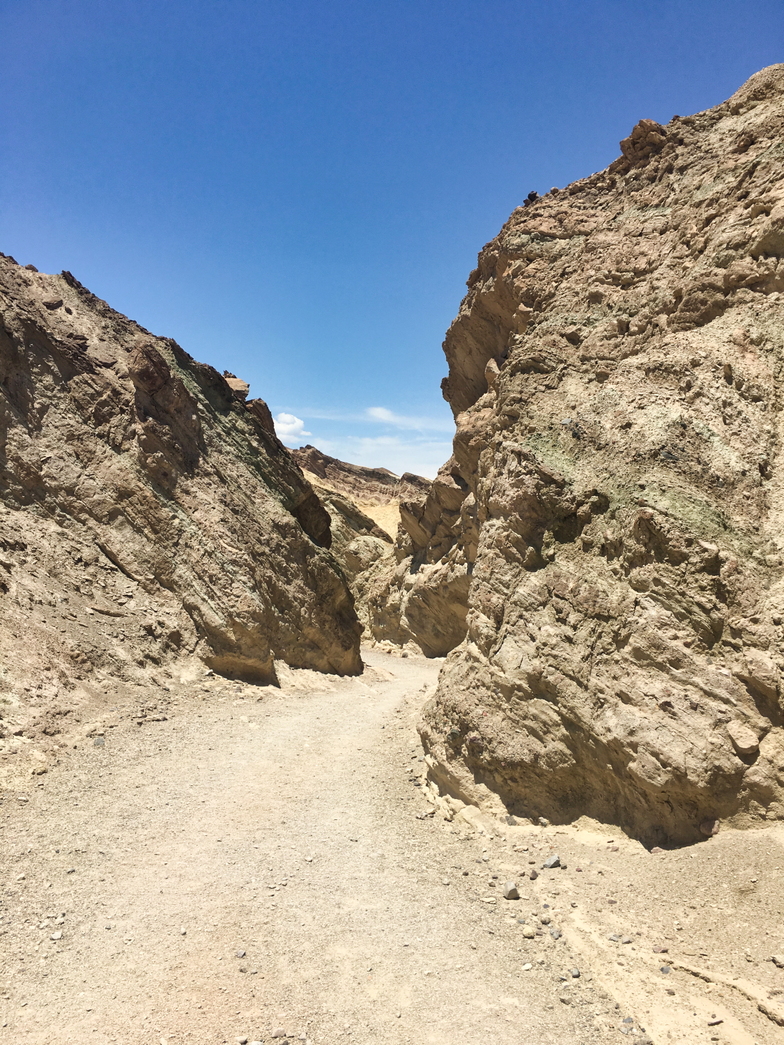
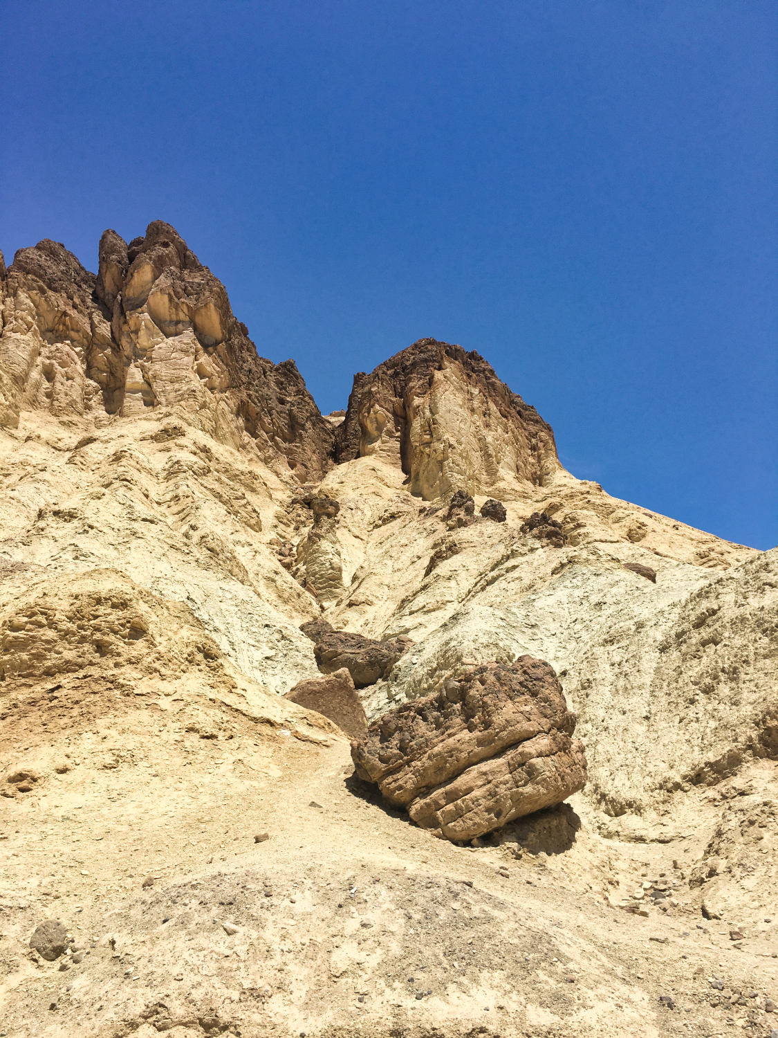
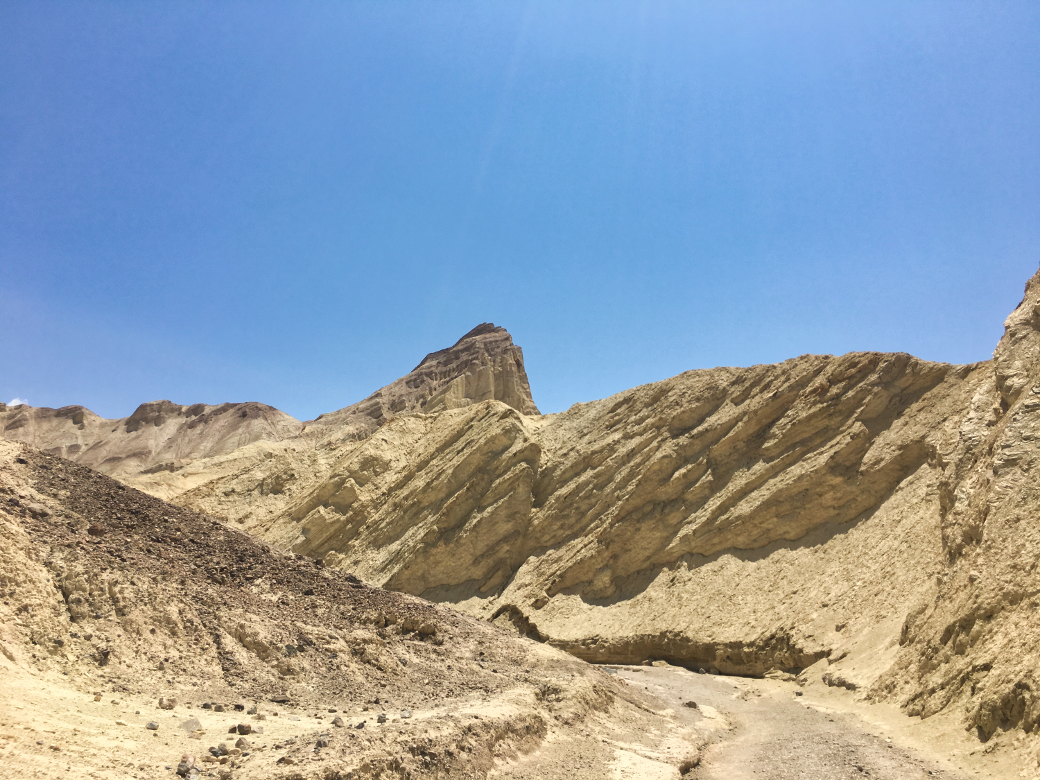
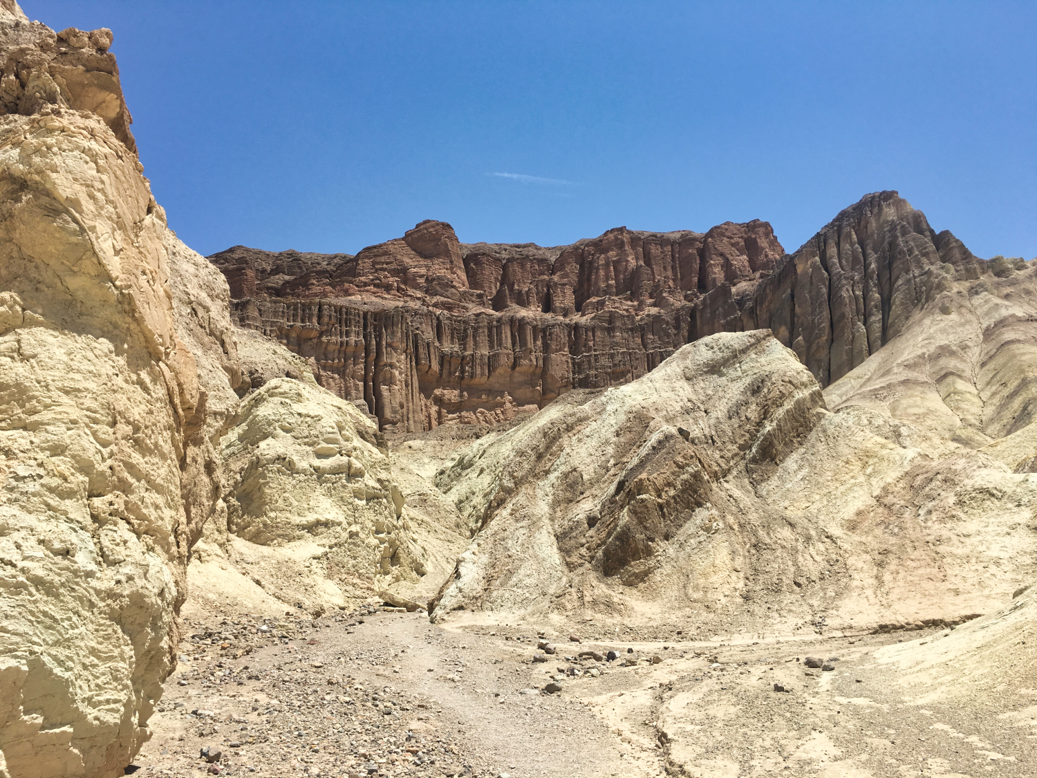
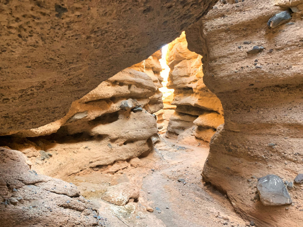
Good time to hike : in the afternoon so that the sun is setting on Red Cathedral when you arrive. At that time there will be more shade and the color of the Red Rocks is beautiful. (bring flash lights for the way back)
Length: 3 miles (4.8 km) out and back trip
Time: 1.5 to 2 hours round trip
Difficulty: Moderate
Elevation: 577 ft (176m)
![]() Vault toilet at Golden Canyon parking lot.
Vault toilet at Golden Canyon parking lot.